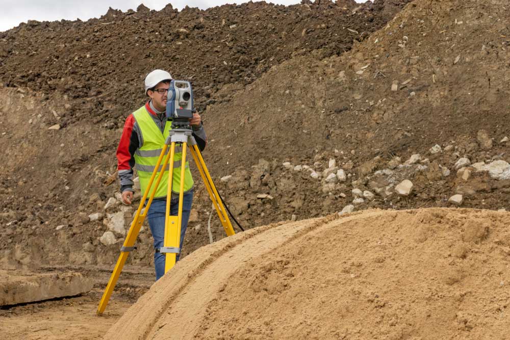

A Topographical Survey by our expert land surveyors in Coimbatore provides a complex and accurate representation of your land’s surface. This survey captures key details, including elevations, contours, and the locations of natural and man-made features such as roads, buildings, and plants. By offering a detailed map of the terrain, this survey is crucial for effective planning, design, and development. It assists in understanding the land’s layout, identifying potential challenges, and guiding construction and development projects. We use advanced surveying technology to ensure precise data collection and reliability. This detailed insight supports informed decision-making for various applications, from infrastructure development to environmental assessments
Our Topographical Survey helps in visualizing land features, assessing land use, and planning projects with accuracy. As leading land surveyors in Coimbatore, we deliver comprehensive and actionable information customized to meet your project’s specific needs, ensuring successful outcomes and efficient land managemen.